Last updated on 12 May 2026
The National Geographical Institute, IGN, offers you a remarkable online service for Go back in time by browsing and comparing maps.
What did my city or this or that place look like ten, 20, 50 or a hundred years ago? How has the territory and geographical area evolved? This site, created by IGN, answers these questions by displaying two maps from two different periods on a virtual light table.

The IGN, which did not wait for Google to create and offer a high-quality map, made things big for this small service integrated into its portal. More than 800,000 images are available and accessible on the Web.
You'll be able to juggle the cards. The screen divides in two in height or horizontally you choose. Side by side or face to face the same place mapped at two different times. Instructive. You can move the map at the tip of your mouse, the two previews will move at the same time. You can also use magnifying glass vision to browse a map. The old version of the map will then appear in the centre of your magnifying glass when you browse the map with it. Magical.
It is of course possible to zoom in on a place. This small site, which dates back to the time of the IGN, makes it possible to compare IGN cards with each other, maps at 1/50000 of 1950, maps of the General Staff 1820/1860, Cassini map of the XVII as well as aerial views of today and aerial photos taken in the 1950s. You can combine all this data as you see fit.
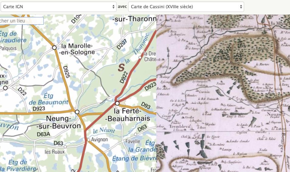
A beautiful online tool very simple to use and perfectly suited for use in class. This small service is free of charge and without advertising. This time machine proposed by the IGN is limited, but it is already quite good, to French territory.
Link: Going back in time

 English
Thank you for this information, it is a very interesting site that I would not have had the idea to look for.