Last updated on 12 May 2026
MapMaker Interactive is a great online tool that allows to Create beautiful custom maps in minutes. An excellent tool to learn about mapping in all hands offered by the people of National Geographic.
MapMaker Interactive is very easy to use. You can even do this without the need to log in or register. The platform allows information or data to be scripted through maps.
From a global map in which you can browse and zoom as you wish after choosing between several types of representations, you will add your own information.
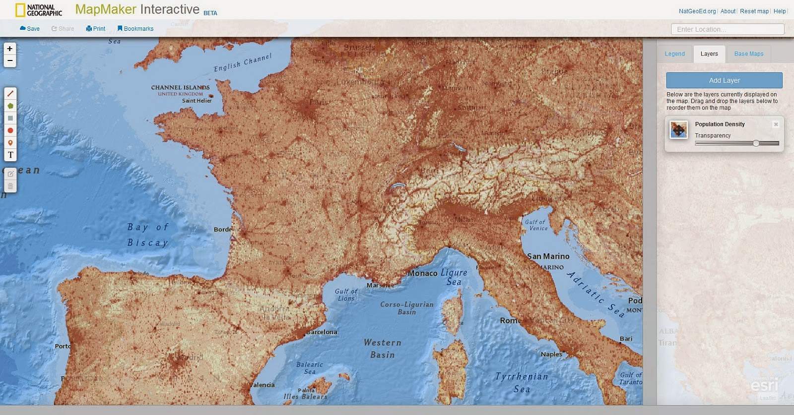
MapMaker Intercative surprises with its power and wealth. It offers hundreds of geographic or historical data on all regions of the world that you will be able to use for your own maps, but above all it will allow you to create a fully customized map from scratch.
You will be able to add open information points multimedia boxes containing text but also links, photos or videos. You can create interactive tours drawing trajectories with steps by measuring the passage of distances and adding texts and comments. You can even mix data provided by National Geographic with your own data.
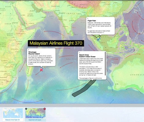
Whether it is for a history course, to talk about climates or for a civic education course on immigration, MapMaker Interactive will allow you to produce quality maps to share.
You can indeed save your cards by registering for free on the site. National Geographic will provide you with unique links and codes to then share your creations by email or on social networks. A nice surprise and a good tool for your own courses or for your students.
MapMaker Interactive is free.
Link: MapMaker Interactive.

 English
1 Response
[…] is a professor of geography history and a trainer at the Rouen Academy. Its site is a reference in terms of maps. It mainly offers materials to be used as part of course sequences. Joint […]