Last updated on 12 May 2026
Cards are a great way to tell a story. Story maps, historical maps, travel maps, the uses are numerous to support your story on a geographical background. Narrative mapping is back on track and that is a good thing.
Here are nine online tools for narrative mapping. Online applications to get you started in "storymapping", storytelling through Maps.
This article was updated in September, some tools from the original list published a year ago have disappeared. New ones have made their entrance. Do not hesitate to provide me with other tools if you are familiar with them.
Table of Contents
My narrative map by IGN
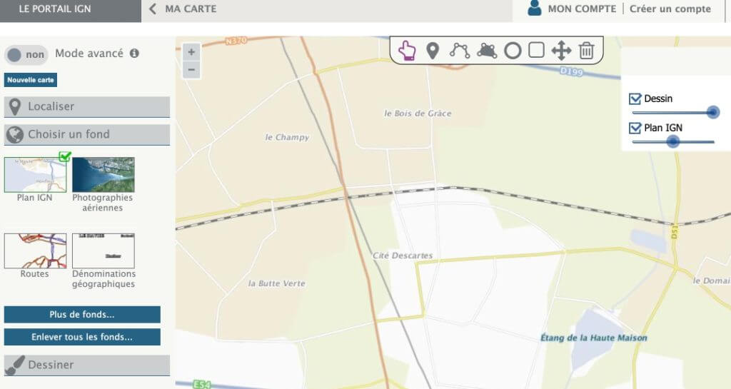
This is one of the absolute references when it comes to storymaps and it is deserved. You will be able to place your narrative in the cartographic background of the National Geographic Institute. You can choose to use the aerial photo background or a classic IGN map and then insert points of interest, pictograms, comments and multimedia elements into it.
Link: My Narrative Map
StoryMap Js
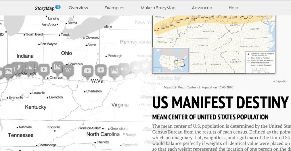
Created to help journalists get started in the visual storytelling of current events. StoryMap is another free tool that will help you tell stories on the web that highlight the locations of a series of events. You can use it for multimedia stories or for make a chronological frieze. Use is relatively simple.You will be able to insert multimedia content into your personalised card. You have a choice: sound, video, images. StoryMapsJs can import items from Twitter, Flickr, YouTube, Vimeo, vine, Dailymotion, Google Maps, Wikipedia, SoundCloud … and many others. That's great.
Link: StoryMaps
uMap
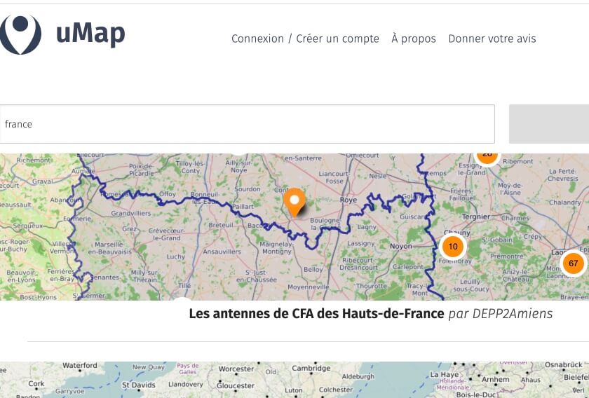
uMap relies on OpenStreetMap’s card fund. You will be able to easily make personalized cards. There are many customization options. You can add points of interest: markers, lines, polygons, choose the color and icons. You can also manage the different options of the map: display a minimap, geolocate the user, etc. A powerful map narration tool and …open source which does not spoil anything.
Link: uMap
MapMaker
A narrative mapping tool proposed by the National Geographic. A reference. The online application for drawing up your cards lives up to the reputation of the venerable institution. MapMaker hides its game and offers a particularly rich online application. You can insert in the cards of your choice, multimedia boxes containing text, but also links, photos or videos.
Link: MapMaker
TimeMapper
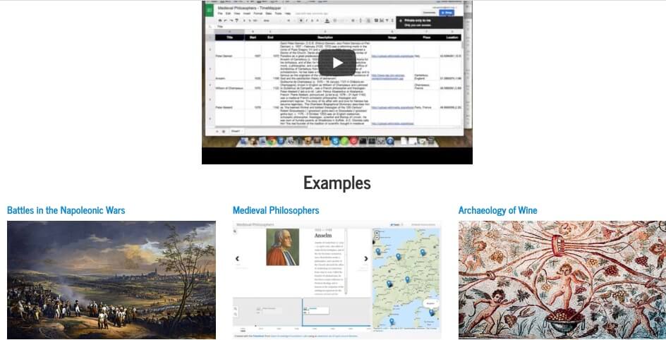
TimeMapper is one of the tools to create timelines and timeline friezes. It nevertheless deserves a small place in this list because it allows you to geolocate and represent on a map the different bridges of your frieze.The tool interprets the data that you will integrate into a spreadsheet.
Link: TimeMapper
Dispatch

A tool to do narrative mapping around travel. The platform allows you to map the different stages of a journey and then create a multimedia ticket for each of them. The result is very nice. Also nice the possibility to find on the site the trips and expeditions told by the other users of the site.
Link: Dispatch
BatchGeo
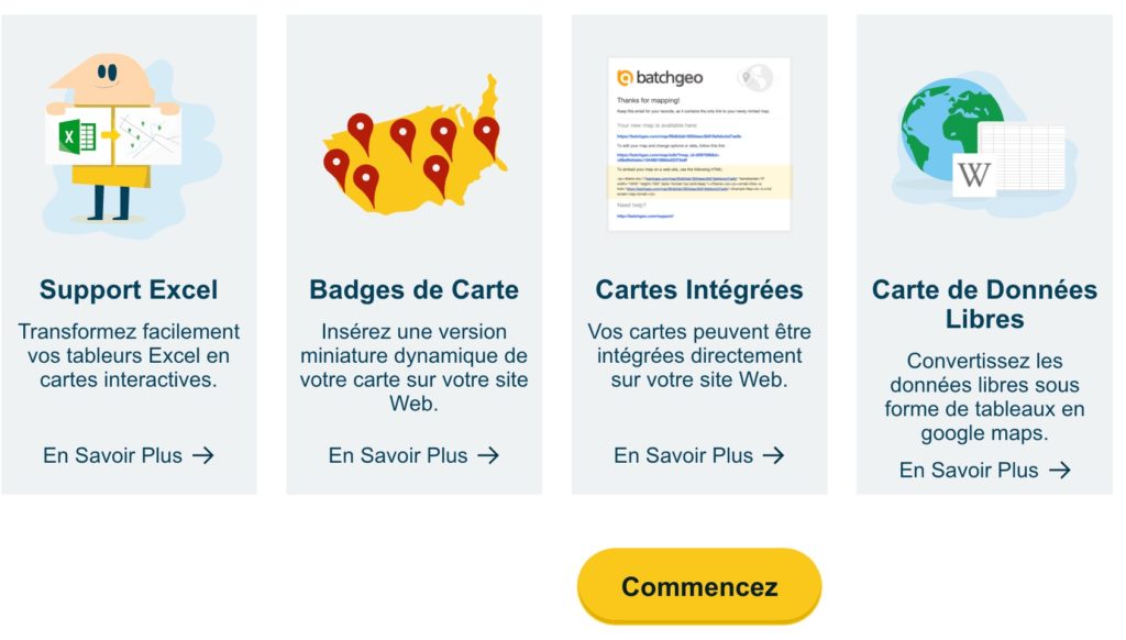
BatchGeo offers a quick way to create Google Maps with your data. Simply select data from your Excel spreadsheets or other software, copy and paste it into BatchGeo. It accepts addresses, intersections, cities, states and postal codes. One click later, you can retrieve your filled card. You can then retrieve a code and embed it on a website or blog. The tool is paid and it is not given but you can do a full and free test for 30 days.
Link: Batchgeo
Tripline
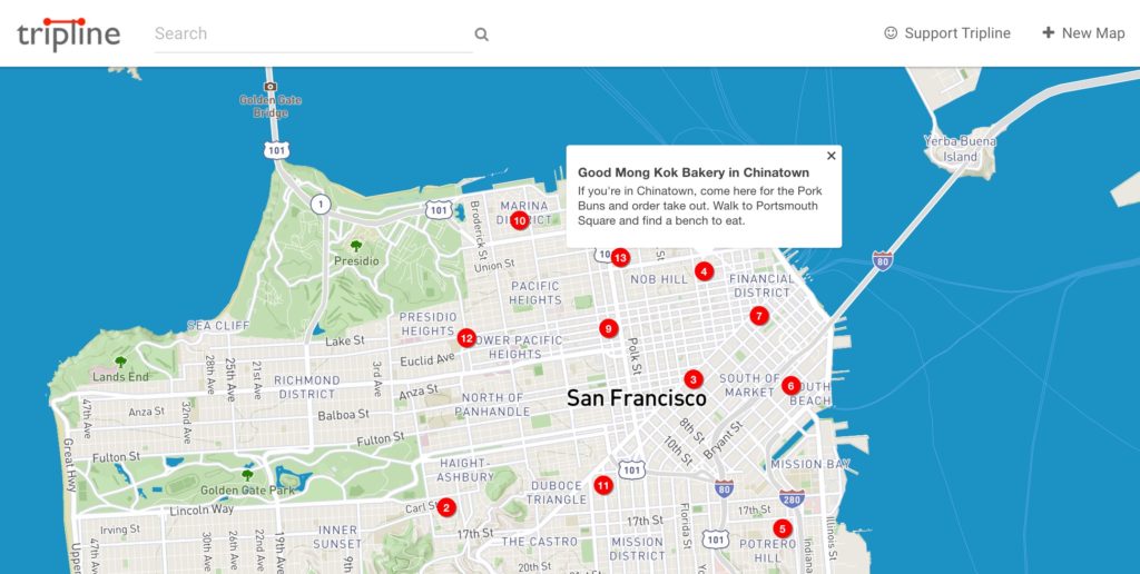
Very simple to use Tripline allows you to easily geocode places and then connect them to each other. The tool is particularly well suited for viewing journeys. You can then associate them with different media such as photos or videos. Tripline, in English, adapts well to depicting travel or documentary narratives around places or journeys.
Link: Tripline
Framacarte

Let's add to this updated Framacarte list of our friends from Framasoft. A free tool based on uMap Framacarte allows you to create beautiful maps that you will be able to draw, mark, color, annotate …The map background is that of Openstreet Map OpenStreetMap. Framacarte also allows you to export the code and insert the card on its website.
Link: Framacarte

Hello,
perhaps could indicate in this presentation that the ign module is also an Edugéo module accessible to all students since their academic year because the Edugéo resource is now integrated into the GAR.
I am at your disposal for more precision if you wish
I am bringing to your attention the map I have produced to identify the Edugéo productions referenced in the Edubases for the high school programme.
It is here. It will soon be available on the Édugéo homepage.
https://edugeo.ign.fr/carte/20017e36def37c5e2fdbf5f1ca7f18c0/Les+programmes+du+lyc%25C3%25A9e+avec+%25C3%2589dug%25C3%25A9o
Have a good week
Jean Olivier Lycée Kérichen Brest